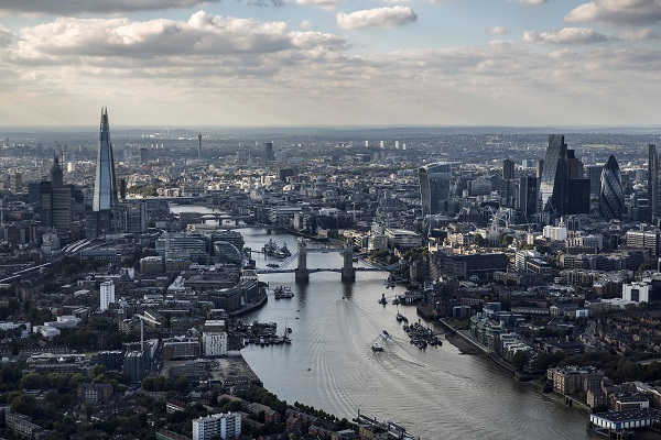
Is Bond’s Central London refuge now out in the open?
Has a state secret been blown open by the data-hungry goliath that is Google?
Deep in the heart of central London on Nassau Street, W1, Google Maps appears to have unearthed an “Mi6 Safehouse”.

Mi6 Safehouse
As you’d expect from Google Maps, there are even reviews of the “Safehouse”. One disgruntled user, James Palmer, wrote: “I’d have given this a great review, except some twonk has published the location on Google and now I have to move. Great.”
Another, Benjamin Fielden, wasn’t a happy guest as he fumed: “Felt less than safe during my time there, a complete ordeal!”
But Alex Mather was a satisfied visitor, saying: “Shame to see the old girl go, She fell into disrepair over recent years, but i guess its time to retire the “Middley” once and for all. They tell me that the site is being redeveloped as a detention and processing center for inner city protesters. When it was an active asset this safe house was referred to as the poorly girl as it was set in a hidden part of the hospital complex.”

A “Construction Site” on Nassau Street. Certainly not an Mi6 Safehouse. Promise.
It is tempting to conclude that the safehouse is a Google Maps prank, as Streetview photos indicate it is a construction site. But with Mi6, how can you be sure?
You need to read…
Is Skyfall the limit for Bond’s branding bonanza?
13 amazing things you never knew about James Bond
Forget Bond: come inside the nanotech lair which beats anything by Q


Leave a Comment